
Research Description
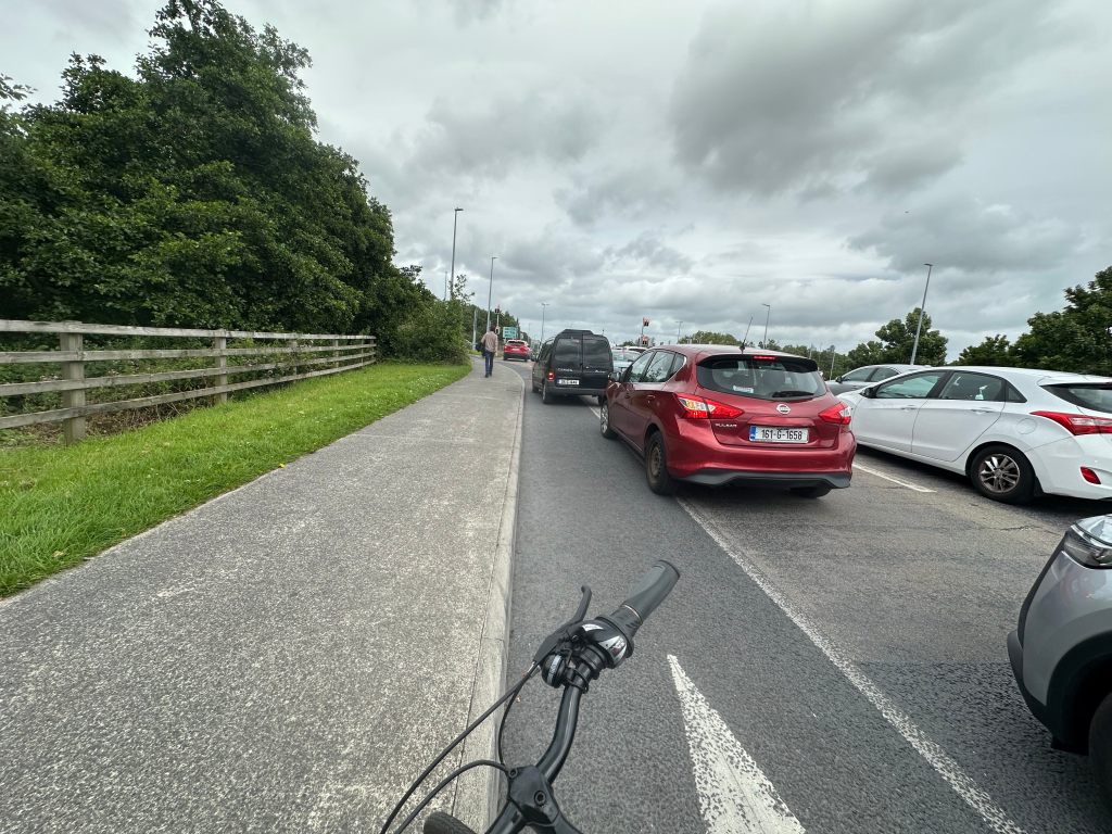
This ongoing dissertation explores how infrastructural design in Galway contributes to social and spatial exclusion, particularly for pedestrians and cyclists. Focusing on the neighborhood of Tirellan Heights, the study investigates how barriers such as high-speed roads, long crossing delays, and disconnected foot/cycle paths shape access to third places and social gatherings. Through a mixed-methods approach—including autoethnographic mapping, environmental data collection (e.g., PM2.5, decibel levels, crosswalk wait times), and survey analysis—the project aims to quantify and narrate the everyday challenges of navigating Galway without a car. The research ultimately contributes to discussions about infrastructural justice, urban conviviality, and sustainable transport planning.
Status
This research is currently in progress and will be completed as part of my Environment, Society and Development Master’s dissertation at the University of Galway (submission: July 2025)
Key Skills and Methods
GIS Mapping (QGIS): Used to analyze spatial access and map active travel routes, infrastructural barriers, and social destinations.
Autoethnographic Fieldwork: Conducted detailed route documentation including timed pedestrian crossings, observed traffic behaviors, and subjective experiences of mobility.
Quantitative Data Collection: Recorded PM2.5 pollution levels, traffic decibel readings, and pedestrian wait times to assess environmental quality of pedestrian environments.
Survey Design and Analysis: Designed and distributed surveys to compare student social behaviors based on neighborhood walkability.
Scoring System Development: Created a metric to evaluate infrastructural friendliness of different street segments.
Urban Policy Contextualization: Connected field data to Galway’s Transport Strategy and local planning policies to evaluate alignment with sustainability goals.

Leave a comment